BioFrontier SC
Where in Santa Catarina has nobody looked yet?
Biodiversity records cluster along roads, around universities and wherever somebody already went. An empty patch on the map can mean nothing lives there, or that nobody has been.
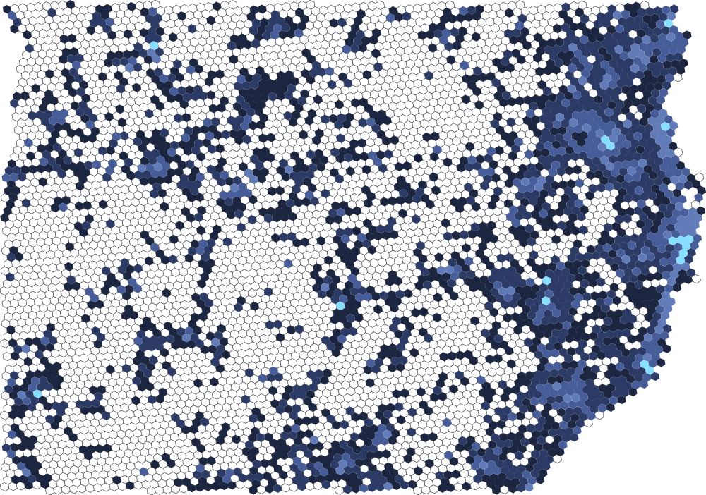
An open hexbin atlas of where nobody has looked yet. It ranks biodiversity survey gaps across the state, so a student or a lab can find the places most likely to hold something unrecorded.
- 69,290
- occurrence records
- 7,616
- species
- 2,396
- localities ranked
Records from GBIF and iNaturalist are deduplicated across sources and binned into H3 cells. Each cell gets a frontier score from survey effort, observer count and habitat, measured as native forest cover from MapBiomas. People in the field can send observations back, and a record counts once two others independently agree on it.
Read the scores as a hypothesis. The weights come from first principles and have not been calibrated against expert judgement, so the ranking says more than any single number. Each location shows whether weak, moderate or strong evidence stands behind it.
Ecologists, taxonomists, field biologists and labs who know Santa Catarina: help calibrate the frontier score. Say whether the weights are right, and which places to check against expert judgement.
Or add observations in the atlas. A submission counts once two others independently agree on it.
Built with Next.js · TypeScript · H3 · Leaflet · Supabase